Anton Günther
Lieder · Mundart · Erzgebirge
Anton Günther
Lieder · Mundart · Erzgebirge
Trail
Anton Günther Trail
📍 Johanngeorgenstadt → Anton-Günther-Höhe · ~60 km · DE & CZ
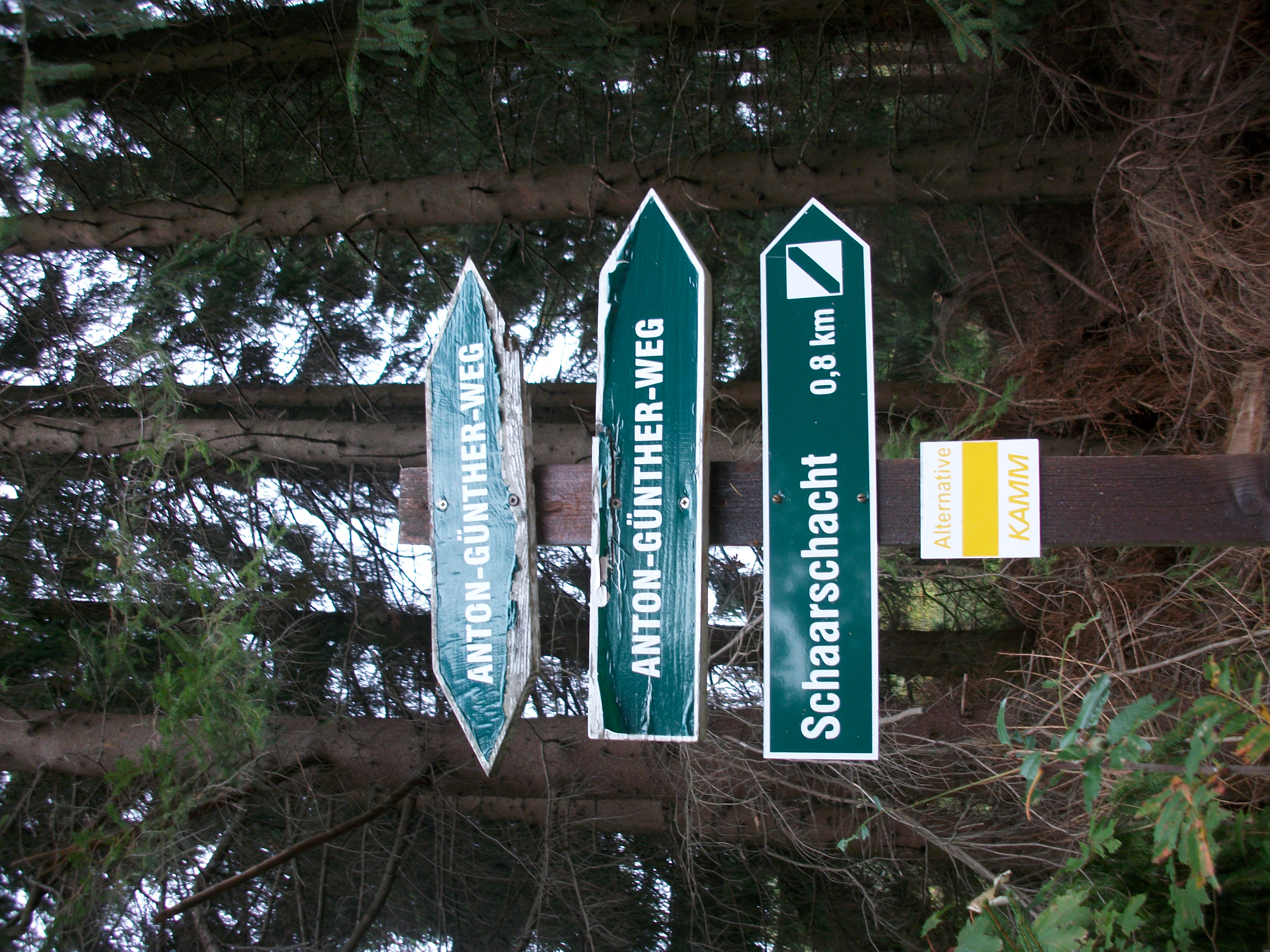
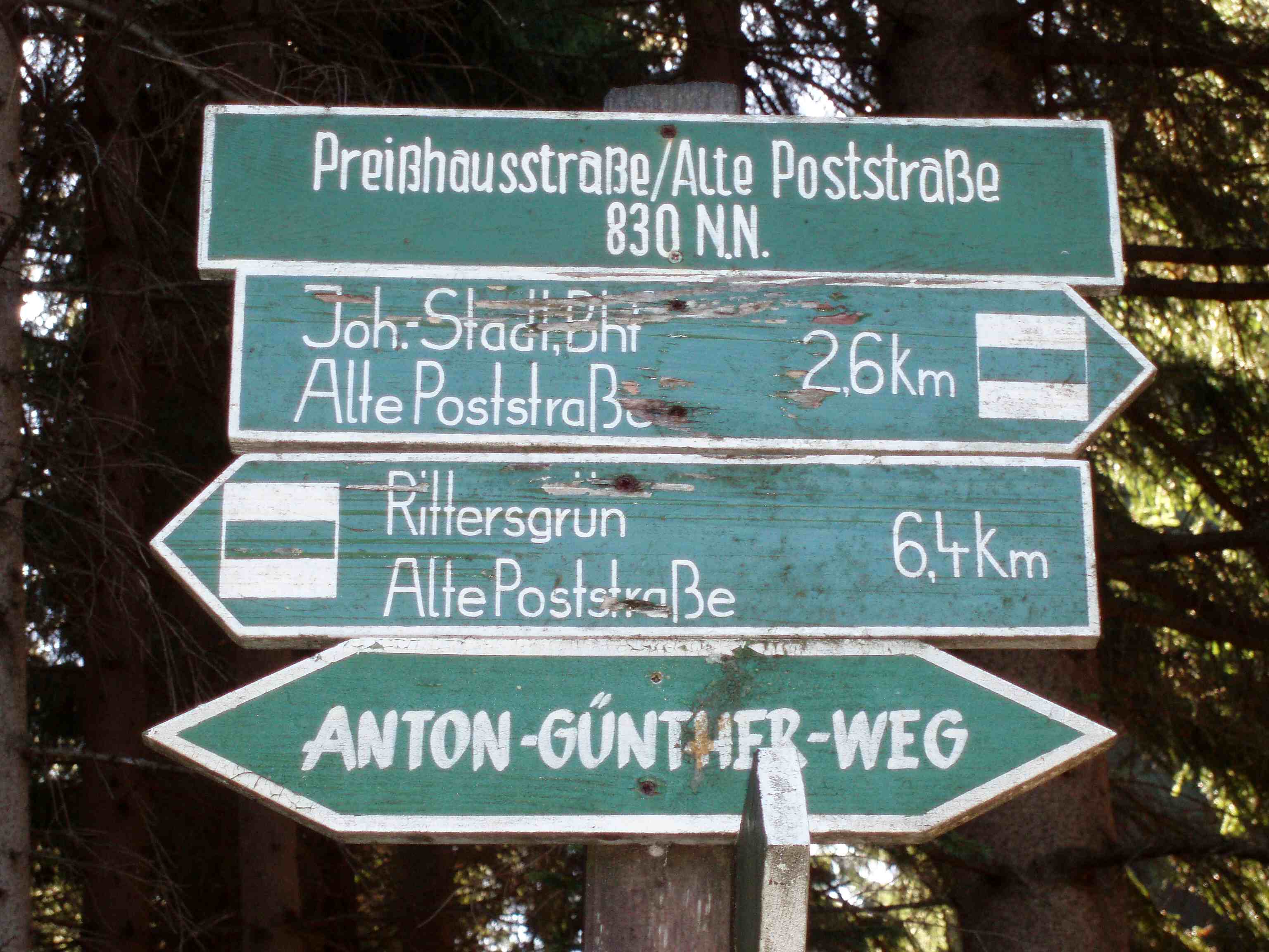
Cross-border themed trail through the Upper Erzgebirge, opened on 16 September 1995 with support from Euregio Egrensis. Approx. 60 km, minimum 2 days. The route leads from Johanngeorgenstadt via Fichtelberg (1,215 m, Saxony's highest peak), Oberwiesenthal, Klínovec/Keilberg (1,043 m, highest peak of the Erzgebirge), Boží Dar (Anton Günther's birthplace and burial site), Abertamy, the historic Dreckschänke and Potůčky to Anton-Günther-Höhe near Wolkenstein.
Coordinates
50.4242° N · 12.8464° E
Location


More places in this category